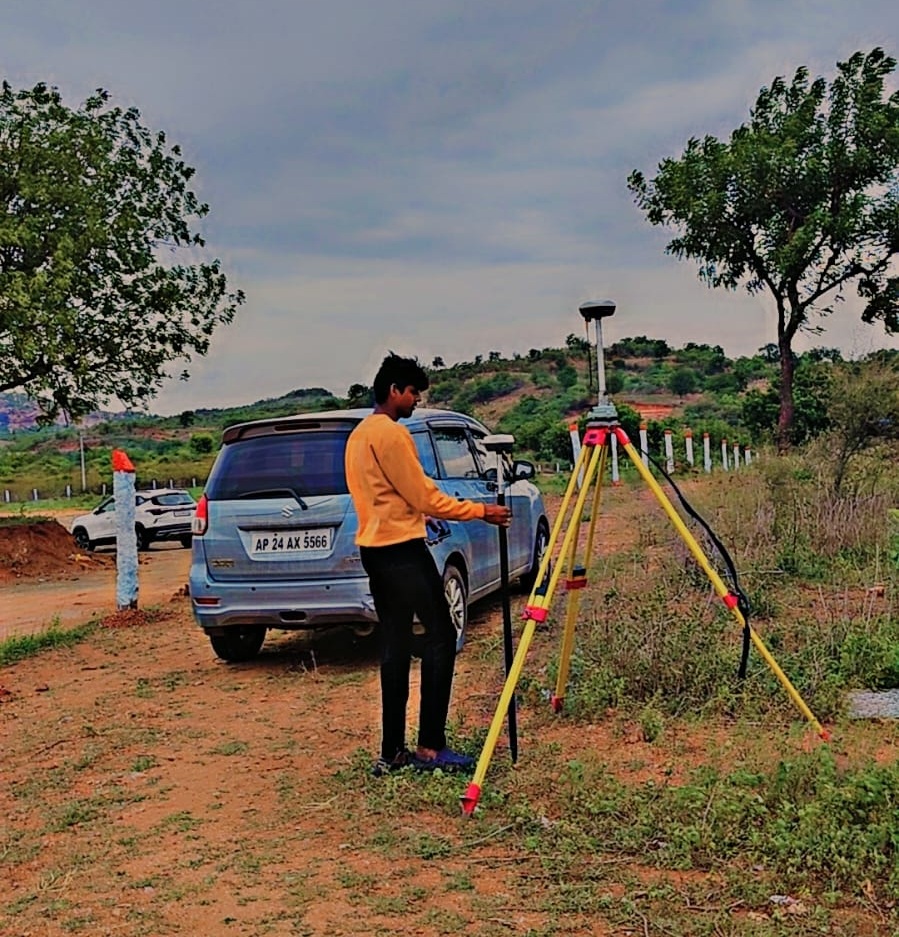
We offer precise digital land surveys using advanced GPS and total station technology, ensuring accurate boundary mapping, topography analysis, and reliable data for planning and development.

"Sry Digital Land Surveys provided exceptional service with incredible accuracy. Their team was professional, punctual, and explained every detail clearly. The digital results helped streamline our project planning. Highly recommend them for any land survey or development-related work."

"We were impressed with the efficiency and precision of Sry Digital Land Surveys. Their advanced tools and knowledgeable staff delivered accurate data faster than expected. A trustworthy partner for any real estate or construction survey needs. Will definitely use again!"

"Sry Digital Land Surveys exceeded our expectations with their professionalism and cutting-edge technology. The team delivered highly accurate survey reports on time, which made our project execution smooth and hassle-free. Their expertise is unmatched—definitely our go-to for future surveys."